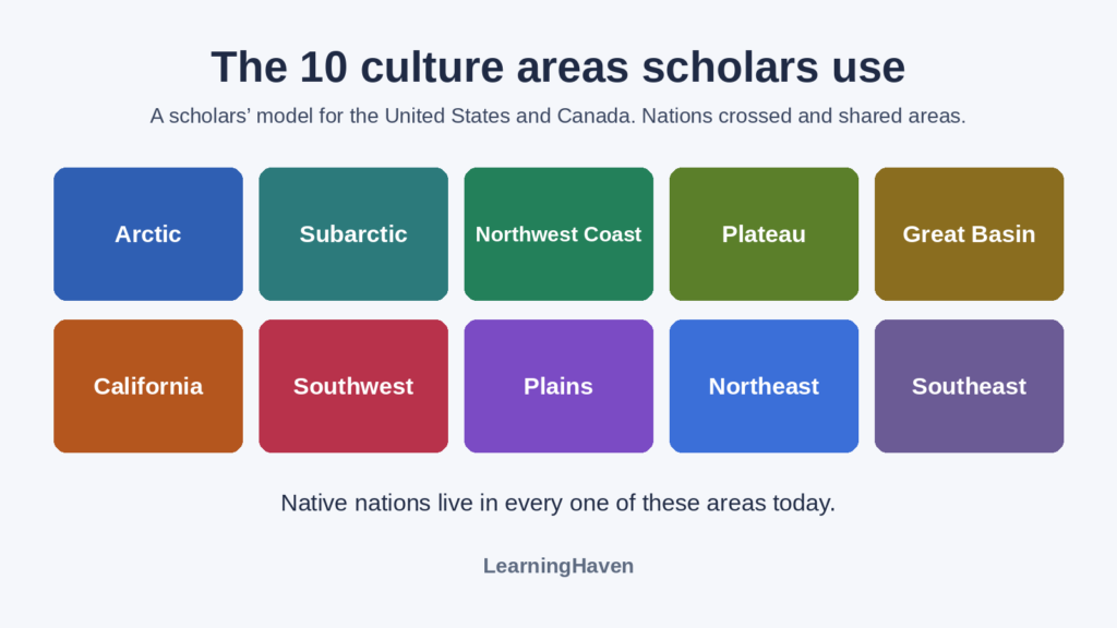
Scholars often group the Native nations of the United States and Canada into 10 culture areas. These are regions where nations shared ways of living shaped by land, climate and food. The areas are a model, not borders. Hundreds of Native nations still live in and across them today, with their own governments.
Key facts
- Most scholars use 10 culture areas for the United States and Canada (Britannica Kids).
- The United States recognizes 575 tribes, on a federal list dated January 30, 2026 (Bureau of Indian Affairs).
- Canada recognizes 3 Indigenous peoples: First Nations, Inuit and Métis (Government of Canada).
- Native peoples have lived in the Western Hemisphere for at least 15,000 to 20,000 years (Smithsonian NMAI).
What is a Native American culture area?
A culture area is a region where nations shared many traits, an idea anthropologist Clark Wissler developed in the early 1900s (Britannica Kids).
The model does not mean every nation in an area was the same. The Smithsonian National Museum of the American Indian states, “There is no single American Indian culture or language” (NMAI Native Knowledge 360°).
The model has limits. EBSCO’s reference guide says, “No single method of assigning cultural boundaries between different groupings of Native Americans is fully adequate” (EBSCO). Nations traded, moved and crossed areas. The Nimiipuu (Nez Perce) traveled from buffalo hunting on the Great Plains to salmon fishing at Celilo Falls (Columbia River Inter-Tribal Fish Commission). Modern borders also cut across areas. This page covers the United States and Canada only.
Scientists say the first people came from Asia across the Bering Land Bridge, and some may have traveled south along the Pacific coast by boat. The dates are still debated (National Park Service, NPS Coastal Migration). Many Native nations also have their own origin histories, which are theirs to tell. You can read more on our Native American history hub.
What are the 10 culture areas, and which nations live there today?
The 10 culture areas run from the Arctic in the north to the Southeast. The table gives a few examples of nations in each area today, not every nation. U.S. names match the federal list of January 30, 2026 (Federal Register). Area placements follow HISTORY and EBSCO.
| Culture area | Where it is | Some nations there today |
|---|---|---|
| Arctic | Near the Arctic Circle in Alaska, Canada and Greenland | Inupiat Community of the Arctic Slope (Alaska), Inuit communities in northern Canada |
| Subarctic | Much of inland Alaska and Canada | Athabascan nations of interior Alaska, Cree and Dene First Nations in Canada |
| Northwest Coast | The Pacific coast from British Columbia to northern California | Central Council of the Tlingit & Haida Indian Tribes, Tsimshian and Coast Salish nations |
| Plateau | Columbia and Fraser River basins, including Idaho and eastern Washington | Nez Perce Tribe, Confederated Tribes and Bands of the Yakama Nation, Spokane Tribe |
| Great Basin | Between the Rocky Mountains and the Sierra Nevada | Shoshone-Bannock Tribes, Pyramid Lake Paiute Tribe, Ute Mountain Ute Tribe |
| California | Most of present-day California | Pomo nations such as the Big Valley Band of Pomo Indians, Ione Band of Miwok Indians |
| Southwest | Arizona and New Mexico, plus parts of nearby states and Mexico | Navajo Nation, Hopi Tribe, Zuni Tribe, White Mountain Apache Tribe |
| Plains | Between the Mississippi River and the Rocky Mountains, from Canada to the Gulf of Mexico | Oglala Sioux Tribe (Lakota), Northern Cheyenne Tribe, Comanche Nation, Blackfeet Tribe |
| Northeast | Canada’s Atlantic coast to North Carolina, inland to the Mississippi valley | Seneca Nation of Indians, Onondaga Nation, Saint Regis Mohawk Tribe, Mashpee Wampanoag Tribe |
| Southeast | North of the Gulf of Mexico and south of the Northeast | Eastern Band of Cherokee Indians, Seminole Tribe of Florida, Mississippi Band of Choctaw Indians |
Fixing an old mistake. An earlier version of this page listed only eight groups and placed the Rocky Mountains east of the Plains. The Plains actually run west from the Mississippi River to the Rockies, and the Northeast lies east of the Plains (HISTORY). Always check a current map and a dated source.
How did the land shape life in each area?
Food sources shaped daily life in each area, from sea mammals in the Arctic to maize farming in the Southeast. EBSCO notes that Arctic and Subarctic peoples lived mainly by hunting and fishing. Northwest Coast and Plateau nations combined salmon fishing with hunting. In California, acorn meal was a staple. Southwest nations farmed and gathered wild plants. Southeast nations grew maize, also called corn (EBSCO).
These are broad patterns. Many nations mixed farming, hunting and trade, and ways of life changed over time. Horses brought by the Spanish reached the Plains after about 1600, and they transformed life on the Plains (EBSCO).
What names do Native nations use for themselves?
In the United States, “American Indian,” “Native American” and “Native” are all acceptable, but a nation’s own name is best. The Smithsonian’s guide says, “The best term is always what an individual person or community uses to describe themselves” (NMAI, Impact of Words).
- The Iroquois Confederacy calls itself Haudenosaunee, meaning “They made the house.” Its nations are the Mohawk, Oneida, Onondaga, Cayuga, Seneca and Tuscarora (Haudenosaunee Confederacy).
- The Nez Perce call themselves Nimiipuu, which means “The People” (CRITFC).
- The Navajo Nation calls its homeland Diné Bikéyah, or Navajoland (Navajo Nation).
In Canada, the Constitution recognizes First Nations, Inuit and Métis as 3 distinct Indigenous peoples (Government of Canada).
How did colonization change every culture area?
European and U.S. colonization brought disease, war, broken treaties and land loss to every culture area. By U.S. independence, the Southeast “had already lost many of its native people to disease and displacement” (HISTORY).
The Indian Removal Act of May 28, 1830, let the president make removal treaties with nations east of the Mississippi River. The U.S. government forced tens of thousands of people from these nations to Indian Territory, later eastern Oklahoma. About 4,000 of 16,000 Cherokee people died on the Trail of Tears in 1838 and 1839 (National Archives). Removal split some nations, so the 2026 federal list includes both the Seminole Tribe of Florida and The Seminole Nation of Oklahoma.
From 1819 to 1969, the U.S. government ran or supported 417 federal Indian boarding schools in 37 states or then-territories, a 2024 report found (U.S. Department of the Interior, 2024). Its 2022 report found that the system pursued “the twin goals of cultural assimilation and territorial dispossession of Indigenous peoples” (U.S. Department of the Interior). Native nations resisted and survived. Read more on our page about the effects of colonization on Native nations.
Where do Native nations live and govern today?
The United States recognizes 575 tribes as of January 30, 2026, and each has rights of self-government. The Bureau of Indian Affairs calls this a government-to-government relationship with the United States (Bureau of Indian Affairs). Many older sources say 574, which is out of date.
Nations govern their homelands today. The Navajo Nation covers over 27,000 square miles in Utah, Arizona and New Mexico (Navajo Nation).
Federal recognition is a legal status, and not every Native community holds it. For example, the name “Ohlone” does not appear on the 2026 federal list. Read about the Ohlone people on our Ohlone page.
Canada has over 630 First Nations communities. They represent more than 50 Nations and 50 Indigenous languages (Government of Canada). Inuit and Métis peoples are counted separately.
Which nations live near you today?
You can find the nations of your own area with a map and the federal list.
- Find your state on a culture area map. Name your culture area.
- Open the 2026 federal list and search for your state’s name.
- Pick one nation and read how its official website describes it today.
- Write three present-tense facts about that nation, with a source for each.
Our geography section can help with step 1. Teachers can find more in our social studies lesson plans.
Sources
- U.S. Bureau of Indian Affairs. What is a federally recognized tribe?
- Federal Register. Indian Entities Recognized by and Eligible To Receive Services From the Bureau of Indian Affairs (2026)
- Smithsonian National Museum of the American Indian. Native Knowledge 360° Essential Understandings
- Smithsonian National Museum of the American Indian. Impact of Words and Tips for Using Appropriate Terminology
- Government of Canada. Indigenous peoples and communities
- Government of Canada. First Nations
- National Archives. Jackson’s Message to Congress on Indian Removal
- U.S. Department of the Interior. Federal Indian Boarding School Initiative Investigative Report
- National Park Service. Bering Land Bridge National Preserve
- Haudenosaunee Confederacy. The League of Nations
- Navajo Nation. History
- Columbia River Inter-Tribal Fish Commission. Nez Perce Tribe
- Britannica Kids. Culture areas of the Americas
- EBSCO Research Starters. Native American culture areas
- HISTORY. Native American Cultures