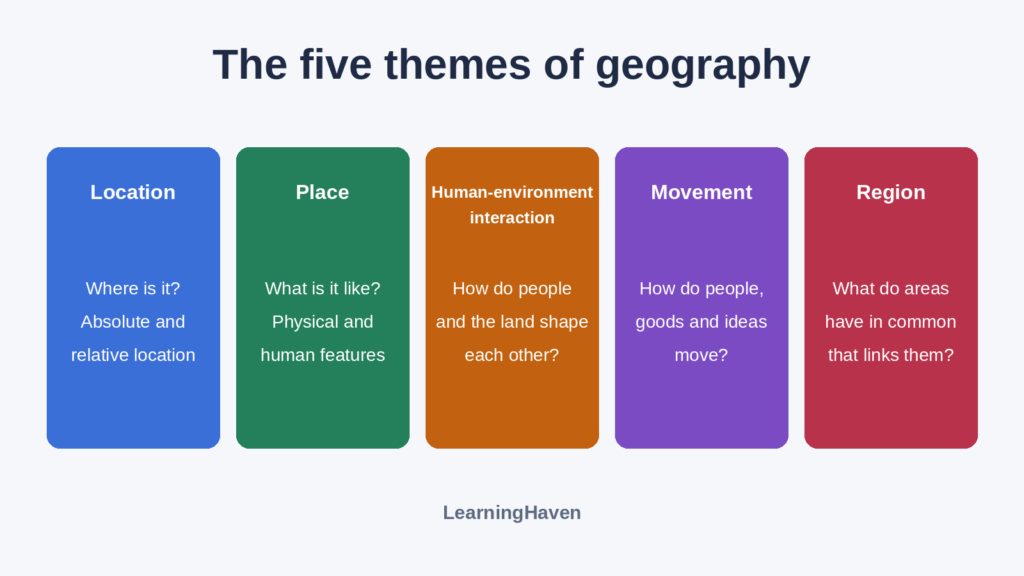
The five themes of geography are location, place, human-environment interaction, movement, and region. Each theme asks one question about a place: where is it, what is it like, how do people and surroundings affect each other, what moves through it, and what larger area is it part of? The themes overlap, so you use them together.
The National Council for Geographic Education and the Association of American Geographers divided geography into these five themes in 1984. Newer education standards are now in effect, and some teachers still use the themes (National Geographic Education). Use them in any geography lesson as questions that help you organize what you observe.
| Theme | Question | School example |
|---|---|---|
| Location | Where is it? | An address, or beside the library |
| Place | What is it like? | A brick building beside a steep hill |
| Human-environment interaction | How do people and surroundings affect each other? | Shade trees cool the playground |
| Movement | What moves into, out of, or through it? | Buses, deliveries, and messages |
| Region | What larger area does it belong to, and by which definition? | A school district or a river watershed |
What is location in geography?
Location tells you where something is, and geographers describe it as either absolute or relative (National Park Service).
Absolute location
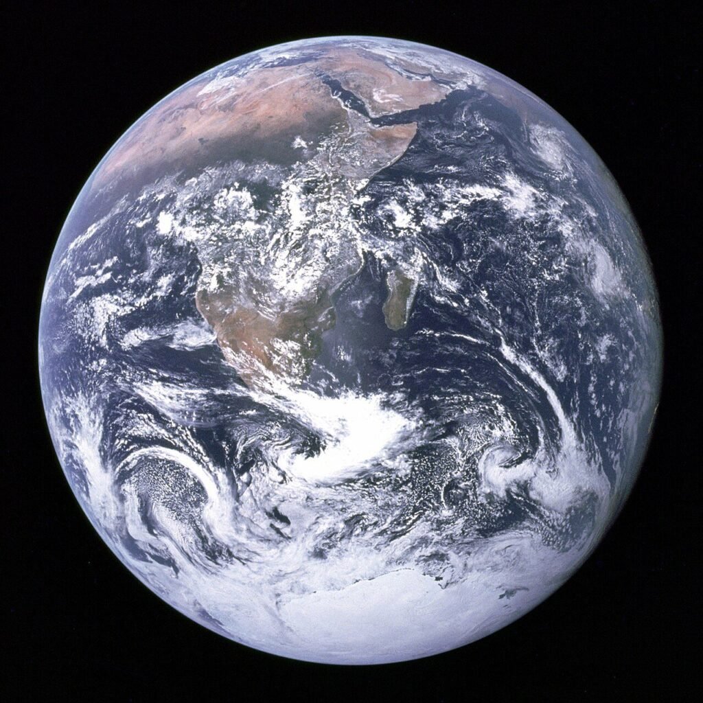
Absolute location is the exact spot of a place on Earth. You can give it as a street address or as latitude and longitude (National Park Service). Latitude is distance north or south of the Equator, measured in degrees. Longitude is distance east or west of the prime meridian, also measured in degrees. The Empire State Building is at about 40.7 degrees north and 74 degrees west. It stands on Fifth Avenue in New York City (National Geographic Education).
Relative location
Relative location describes a place by how it relates to other places. It tells you what is nearby and how far away something is (National Park Service). The Empire State Building is about 25 blocks south of Central Park, for example. Directions such as north, south, east, and west also describe where one place is in relation to another (National Geographic Education). A compass helps you find those directions.
Relative location can also show how places connect. Key West, Florida, and Anchorage, Alaska, are thousands of miles apart. Yet people in both share the same language and national government (National Geographic Education).
A relative description only helps if you know the other place. "Two blocks past the library" means little until you know where the library is. National Geographic Education points out, "Even absolute location is a form of relative location!" Coordinates give a position relative to the Equator and the prime meridian. To see those two lines on a globe, read about the hemispheres. A world map helps you find any location.
What is place in geography?
Place describes what a location is like through its natural and human features. National Geographic Education says place "refers to the physical and human characteristics of a spot on the map." Location focuses on where. Place focuses on what it is like there.
Physical characteristics
Physical characteristics are the natural features of a place. They include landforms such as mountains, beaches, and rivers. They also include climate, plants, and animals (National Park Service). Elevation, water features, and soil count too (National Geographic Education).
Human characteristics
Human characteristics describe the people who live in a place and what they have built. They include language, industry, religion, and culture (National Park Service). They also include how many people live there and how close together they live. Houses, roads, and other infrastructure count as well (National Geographic Education).
Geographers also use place to compare places. The Sahara and Antarctica are both harsh, sparsely populated deserts. The Sahara is hot, and Antarctica is cold (National Geographic Education). A place can change over time too. A field can become a neighborhood without moving an inch.
How do people and the environment affect each other?
Human-environment interaction describes how people depend on, adapt to, and modify the places where they live (National Park Service).
- Depend: People rely on a place for what they need, such as plants for crops and rivers for fish and water (National Park Service).
- Adapt: People adjust to a place with clothing and shelter (National Park Service). People in the northeastern United States heat their homes in winter. People in the southern part of the country use air conditioning much of the year (Arizona Geographic Alliance).
- Modify: People change a place to meet their needs. They build dams, canals, and mines (National Park Service). They also plow and irrigate fields (Arizona Geographic Alliance).
The effects run in both directions. A place shapes how people live, and people change the place.
What is movement in geography?
Movement describes how people, goods, and ideas travel to, from, and through a place (National Park Service).
- People: travel, tourism, and immigration.
- Goods: shipped by river, highway, or airplane.
- Ideas: shared by mail, telephone, or internet.
Those three examples come from the National Park Service. Movement covers more than people. The Arizona Geographic Alliance lists materials and physical systems such as wind alongside people and ideas.
What is a region in geography?
A region is an area where places share common features. National Geographic Education defines it this way: "A region is an area of land that has common features." Language, government, or religion can define a region, as can forests, wildlife, or climate.
- Physical region: the peaks and valleys of the Rocky Mountains.
- Human region: the highly urbanized Northeast Corridor between Boston and Washington, D.C.
- Combined region: the South, Scandinavia, and the Midwest.
The Arizona Geographic Alliance gives those three examples. It adds that boundaries between regions can be vague. A region can be large, like the Corn Belt. It can also be as small as a neighborhood.
Regions can overlap. National Geographic Education lists 16 ways the Library of Congress divides the United States into regions. New England and the Northeast both include Maine and Vermont.
How do the five themes work together?
The Arizona Geographic Alliance says, "No one theme can be understood without the others." New Orleans shows how. It sits where the Mississippi River empties into the Gulf of Mexico. That is its relative location. The same spot gives the city easy access to ocean and river shipping, which is movement (Arizona Geographic Alliance).
A memory phrase can help you keep the order straight. The National Park Service suggests "Lovely Paintings Have Many Rainbows" for location, place, human-environment interaction, movement, and region. Then try the two activities below.
Make a place profile
Choose somewhere you know. Write one observation for each theme. Add a source beside each statement: your observation, a map, a photograph, or an interview.
Think again
A bus route can illustrate movement and help define a service region. Explain both uses. Then compare an exact address with “near the station”: which description needs more information?
Discussion guide
An address identifies a particular location. “Near the station” is relative and requires knowing which station and what “near” means. Themes can overlap because they offer different questions about the same place.
Keep exploring in social studies: the seven continents, compass directions, and hemispheres.
Sources
- National Park Service. The Five Themes of Geography and Weir Farm
- National Geographic Education. Location
- National Geographic Education. Place
- National Geographic Education. Region
- Arizona Geographic Alliance, Arizona State University. The Five Themes of Geography
Sources & further reading
Source links are provided for editorial review. Recovered historical text has not been independently verified.